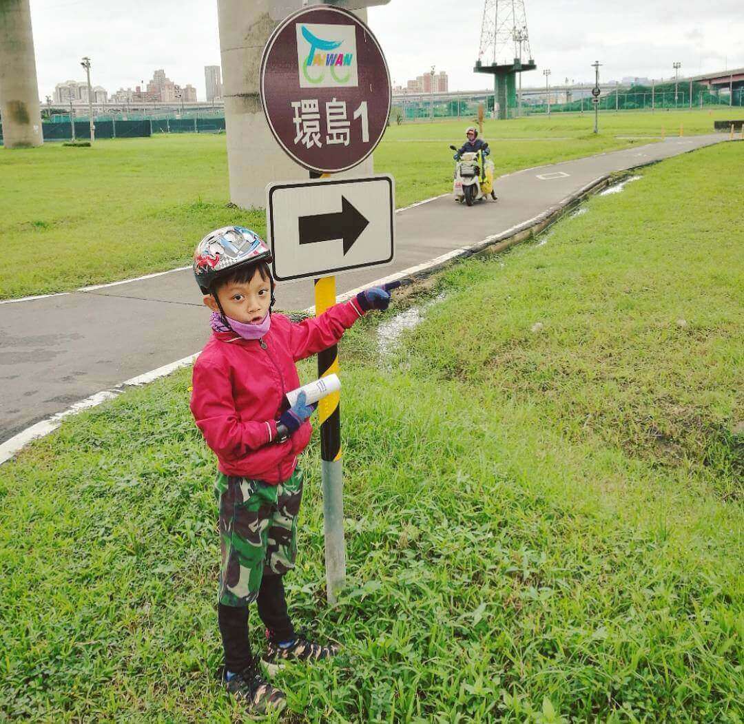
For friends who are experiencing the first time around the island, Cycling Taiwan’s Cycle Route 1 Map is certainly the easiest choice (obvious route guidance, many repair stations, convenient stores and more convenient food and drink supplies, etc.).
Import the Taiwan Cycle Route 1 Map into Google Map in advance for your Cycling Around Taiwan trip, and you can locate it after positioning. Know how to get back to the main line without internet or smartphone, you can get a paper map of the Taiwan Cycling Routes at MathewBike before departure.
The service items that each supply station can provide are slightly different. The service items include: drinking water, toilets, barrier-free toilets, first aid kits, and maintenance tools. For information about each supply station and the service items it provides for cycling Taiwan, please visit the service page of the supply station.
Cycling Days For Cycling Around Taiwan
The basis of planning Taiwan Cycling Routes is that you will take a few days to complete it. The official recommendation about cycling Taiwan is 9 days and 8 nights, but according to the needs of each person, such as me who is not physically strong, choosing 12-14 days is the most comfortable way for me to cycle around the island (laughs).
Cycling Taiwan Guide:Challenge Bike Tours
The small circle Around Taiwan about 900 km: 9 days and 8 nights.
If you start From Taipei, we usually choose provincial way No 1. and No 9. to complete a cycle, the key is that somewhere we will not be there like: Sun Moon Lake, Kenting, some deep views we can not go. Choose a small circle is mean enjoy faster speed and challenge youself to done it!
Cycling Around Taiwan for Beginners
The big circle Around Taiwan about 1,200 km: 15 days and 14 nights.
To ride about 1,200 km, that is mean you can go so many deeper landscapes, as like Sun Moon Lake, Kenting (Southest point of Taiwan), even Taroko gorge, which is most famous in Taiwan.
Of course, if you have more cycling around Taiwan these days to do, I will recommend you somewhere enjoyable sights known only by locals.
9 Days 8 Nights Cycling Around Taiwan Route No.1 Map Overview
Cycling Taiwan Guide:North Area Trail Route
Taipei city roads and riverside bicycle paths → Dahanxi Riderside Path → Provincial No.3 → Provincial No.4 → Provincial No.3 B → Gaoyuan Rd. → NanKeng Rd.→ Xinlong Rd. → County Highway 115 → County Highway 118→ Provincial No.1 (Hsinchu)
- The total distance: about 91.1km, with a total climb of 501m and a total descent of 491m
- Attractions:
Start from: MathewBike to Shuangxi Riverside Bikeway → Bali Left Bank Riverside Bikeway → Provincial No.15 (Hsinchu Seaside)
- The total distance is about 88m, the total climb is 146m, the total descent is 143m
- Attractions: Linkou Buffalo Pit, Caota Dunes of Taoyuan, Tai Tan Algae Group, Xinfeng Mangrove Nature Reserve.
Provincial No.1 (Hsinchu) → Provincial No.61 → Baishatun switch to Provincial No.1 into Taichung → Changhua City
- The total distance is about 101.9km, the total climb is 249m, and the total descent is 247m
- Attractions: Baishatun Matsu Pilgrimage Procession
Cycling Taiwan Guide:Central Area Trail Route
Provincial No.1 C (Changhua) → Provincial No.1 → County Highway 145 (Xiluo Bridge) → Provincial No.1 → Chiayi City
- The total distance is about 83.2km, the total climb is 149m, and the total descent is 139m
- Attractions: Xiluo Bridge
Cycling Taiwan Guide:South Area Trail Route
Chiayi City → Provincial No.1 → Provincial No.19 A → Tainan Metropolitan Expressway → Provincial No.20 → Provincial No.39 → Provincial No.28 → Provincial No.1 → Nanzi
- The total distance is about 103.47km, with a total climb of 115m and a total descent of 135m
- Attractions:
Kaohsiung City → Bicycle road network → Tongmeng Road →Hedong Rd. → Provincial No.17 → Provincial No.1 → Fangliao → Provincial No.26 → Checheng City (Or take the train from Fangliao Station to Taimali)
- The total distance is about 95.4km, the total climb is 152m, and the total descent is 160m
- Attractions:
Checheng City → Sichongxi Hot Spring → County Highway 199 → Shouka → Provincial No.9 (Daren to Zhiben) → Taitung City
- The total distance is about 115.5km, with a total climb of 959m and a total descent of 878m
- Attractions:
Cycling Taiwan Guide:East Area Trail Route
Taitung City → Provincial No.9 (Luye to Ruisui) → Ruisui City
- The total distance is about 86.4km, the total climb is 661m, and the total descent is 633m
- Attractions:
Ruisui City → Provincial No.9 (Guangfu to Hualien) → Pass by Train (Xincheng to Su’ao Xin) → Provincial No.9 → Bicycle Path → Dongshan Riverside Bikeway → Provincial No.2 (Wujie)
- The total distance is about 111.1km, the total climb is 367m, and the total descent is 496m
- Attractions:
Wujie City → Provincial No.2 (Toucheng – Waiao – Shicheng – Fulong)→ Provincial No.2 C → Provincial No.2 D → Provincial No.5 → Civic Blvd. → Songshan Station
- The total distance is about 115.4km, the total climb is 1045m, and the total descent is 1034m
- Attractions:
Recommended Bicycle Navigation Tools
1. Google Map
It is my most commonly used navigation app. She can quickly see that I have a few kilometers left, and can give voice instructions to guide me.Cycling around Taiwan Route 1 Map is imported into your account. Even if you are offline, you can open the location and get lost.
2. Velodash
The most used speed mileage app, the main features are combined with positioning + drawing Taiwan cycling routes maps + social interaction, friends who join the Taiwan cycling routes can see our speed and location at any time, there is a power saving mode setting, and the route can also be downloaded and imported Strava APP.
3. Strava
The powerful GPS positioning system can exactly record the speed and km of cycling (it can also be used with GPS watches and headsets). The main feature is that it can record the riding route, time, speed, cadence, heart rate and other information. It’s very easy to use for knights who have sports habits and friends who are pursuing performance.
4. Xplova
Their route information is rich. The main features can draw the route by yourself (or refer to the route that others have ridden), the notes and settings of the scenic spots (icons are also very cute), can follow the route, display the real-time slope, distance, altitude, and map data function can also be used for marking, which is very helpful for planning your Taiwan Cycle Route 1 Map before the trip. The GPX file will be displayed after the route is drawn. It is suitable for computer operation. The route must be integrated with the Xplova computer to bring out the smart attractions.
5. 環騎圓夢
The APP planned by the Ministry of Transportation and Communication takes the information of Taiwan Cycle Route 1 Map as the main axis, provides information and practical functions needed for cycling travel, and contains maps, supply stations along the way, scenic spots, food… etc. With the ability to record riding trackes and real-time comparison, if you accidentally deviate from the established route, it will immediately remind riders through ringing and vibration to avoid getting lost. The most practical function is the SOS function. When you encounter an emergency, you can click the “SOS” button to send your GPS location to relatives and friends via LINE or SMS to ask for help. Download APP (iOS / Android)
6. Zenly
The best APP to track where your teammates are! At present, it is believed that it is the most exact location. Although it cannot be combined with route navigation, it is recommended to download and track for families who have not join in the tour (please use it carefully to aviod broken up (´_ゝ`))
Q&A Of Cycling around Taiwan Route No.1 Map
How to get Taiwan Cycle Route 1 Map?
Please come to MathewBike to get your Taiwan cycling Routes map!
Where are the supply stations/bike repair stations?
1. Please Call to MathewBike.
2. All Taiwan Bicycle Stations organize the list.
I can't ride and want to take a train. What should I do?
Please reference MathewBike’s article: How To Take The Bike On The Train / Metro, if you have any questions, weclome to call or come by!
Why choose Taiwan Cycle Route 1 Map?
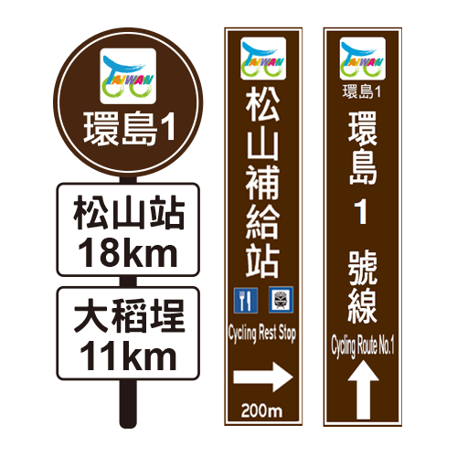
There are complete road signs, supplies, and bicycle stations along the No. 1 Route. If a beginner rides along the route, it is a very simple route that even foreigners can easily identify.
In addition to the guide signs and markings along the route, the completed projects include:
- Planning and installation of service facilities along the Taiwan cycling route 1 (11 railway transfer stations and 111 certified supply stations).
- Set up supply station guidelines and distance information along the route.
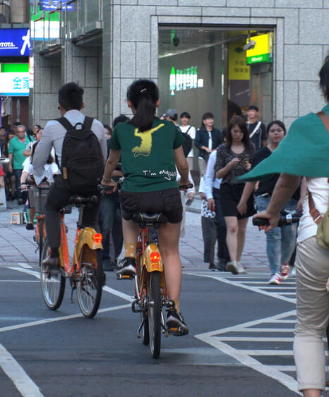
- Adjust the lane configuration and designate a slow lane, draw motorcycle and bicycle image in the slow lane to indicate the bicycle right of way.
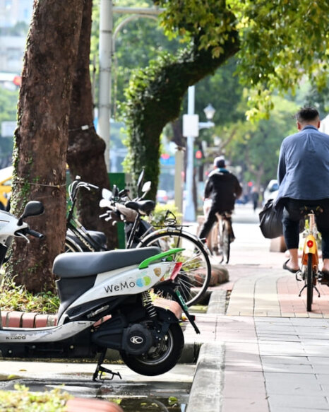
- motorcycle parking areas and bicycle parking areas are merged to improve the completeness and safety of bicycle parking at intersections.
- The guardrails of the main bridges along the route are heightened.
- Build a website for providing route, supply station information, pre-departure planning information, and image information along the route.
- The construction and improvement of friendly service facilities at major railway stations along Taiwan Cycle Route 1.
Source: Taiwan Bicycle Travel Official
Ready To Go: Cycling & Pre-Departure Notes
Cycle-friendly Accommodations
Taiwan Cycle Route No.1 Map have been sorted out. After referring to the above route suggestions, you will find the hotels you want, so we have accommodation plans for your reference and oganize and introduce fun attractions to everyone. Of course, you can’t just spend sweat and collapse around the island (laugh) (͡° ͜ʖ ͡°)
Read More: Bike Friendly Hotels & Recommeds In Taiwan!
After introducing Taiwan Cycle Route 1 Map and accommodation recommendations, what should I bring equipment for cycling Taiwan tour? Usually, how many kg is better for luggage? Often when packing, I accidentally bring more and more. I regret bringing these things, but I don’t need them at all! So tired while climbing any hill! (I will not say that it is my body problem lol) (;´༎ຶД༎ຶ`)
Cycling Essentials
Ideal travels, You must read What the necessary and regrettable equipment for cycling travel. MathewBike provides bicycle equipment rental, you don’t need to spend a lot of money on equipment, and it can also help you save your cost!
Ride Safety
What should I do if the bicycle tires get puncture breaks? ! There are many Youtubers teach great and easy to understand. At least you can find a lot of videos to solve the problem of changing tires. However, you have decided to cycle around in Taiwan, why not choose a good condition of the bike? Require to MathewBike! ヽ༼ຈل͜ຈ༽ノ
Cycling Rentals
MathewBike Rental Service: To do in-depth maintenance every time before Bike Rental, replace top-grade puncture proof tires, install tire liners to strengthen effect of tires, large saddle bag capacity, free helmet rental, all equipped, so you can avoid the trouble of bringing less things!
The Cost of Cycling Taiwan
A very good price and high quality for bicycle rental around Taiwan, ex. Giant bicycle Shop, my good friend: BIKE EXPRESS TAIWAN.
How much does it cost to ride around Taiwan?
Necessity of cycling around Taiwan, You must training, training and training.

[…] Source: MathewBike […]